By Tommy Noyes

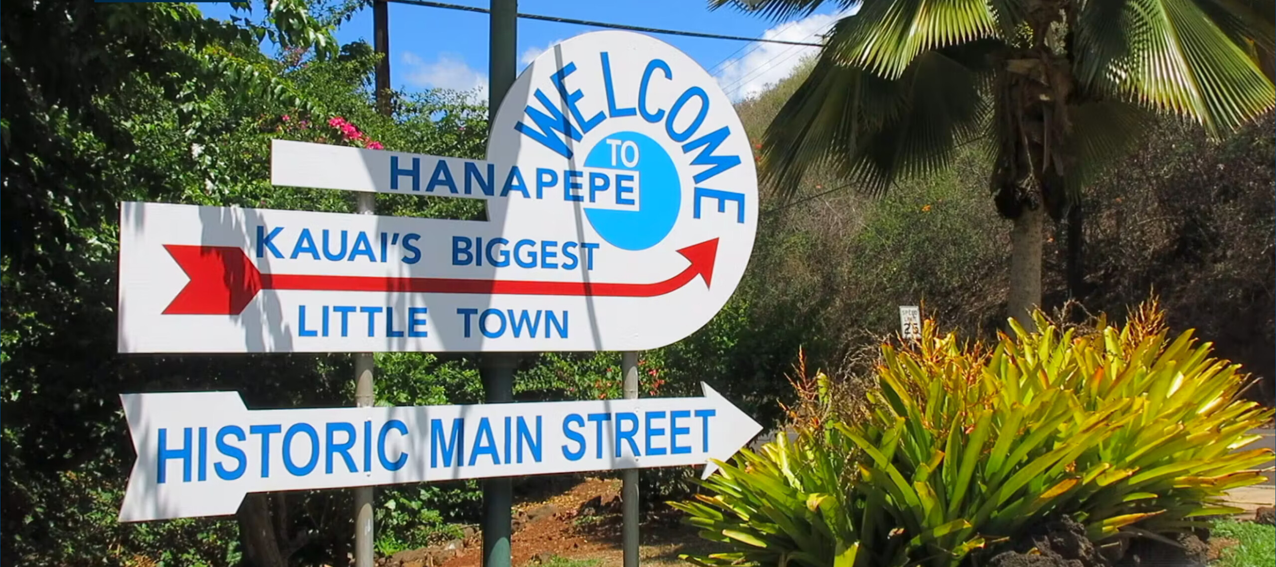
In October 2021, Tommy Noyes, Rob Nelson and Dave Haggland began replacing all 24 interpretive signs on East Kaua‘i’s bike path, starting at the path’s roundabout near the Wailua River’s South bank. The County of Kaua‘i Department of Parks and Recreation funded the purchase of the replacement signs, and volunteers coordinated by Kaua‘i Path took care of the installation. Photo by Michelle Haggland
A year ago, railroad enthusiast Dave Haggland emailed the educational nonprofit Kaua‘i Path, saying he had noticed the interpretive signs along the path had deteriorated significantly where some cannot be read at all, and he would be interested in seeing the situation rectified.
“Who would one start a dialogue with? Is it a matter of funds? Manpower? I’d be willing to make some investment of time and/or money to help toward this end. Please let me know if I can help,” Haggland said in the email.
As a result, Haggland and I collaborated on replacing the weather-damaged components of the Puna Moku Coastal Trail Heritage Signage, and the County’s Department of Parks and Recreation approved Kaua‘i Path’s application for maintenance funds to purchase the replacement signs. Kaua‘i Path coordinated the educational project.
Last month, Haggland, volunteer Rob Nelson, and I replaced all 24 interpretive signs along East Kaua‘i’s walking and bicycling trail, Ke Ala Hele Makalae, from Kuna Bay to Lydgate Beach Park, including the display describing plantation era railroads at the base of the Kawaihau elevated boardwalk.
The fresh new signs were fabricated using High Pressure Laminates, and are expected to resist the corrosive tropical environment better than the original signs, which were first installed in 2012.
“The Puna Moku Coastal Trail Heritage Signage subject matter covers a broad variety of topics,” said historian Pat Griffin, who chairs the Historic Hawai‘i Foundation’s Preservation Awards Committee. “In 2014, this signage project was selected for one of HHF’s Preservation Honor Awards, based on the project’s engaging graphic design, outstanding research, and breadth of cultural detail.”
At the path’s roundabout on the south bank of Wailua River, the interpretive signage explains how the river and coastal geology, ecology, flora and fauna shaped the environment. As one walks the path, the story continues with narrations of how people came to the island, bringing their culture, erecting monuments and establishing commerce.
Markers set into the path demarcate ancient ahupua‘a boundaries.
While walking the eight-mile stretch of coast, one may learn how numerous generations of East Kaua‘i inhabitants altered the landscape.
Profiles include Polynesians who sailed across the Pacific in their voyaging canoes, established a monarchy and built the complex of heiau in Wailuanuiaho‘ano (“Great Sacred Wailua”); the ferry operators that predated bridges crossing the Wailua River; the farmers who cultivated rice paddies in Kapa‘a; the Kealia sugar mill workers who lived in its camps; the Japanese immigrants who raised a massive stone lantern honoring the their homeland’s emperor, then buried the lantern to hide it from potential persecutors, and those who discovered, relocated, and eventually restored the lantern in its present setting within the Kapa‘a Beach Park; the factory workers in the Pono Pineapple cannery; and of course Elvis floating along the Coco Palms’ iconic lagoon.
Kaua‘i Path is an educational nonprofit with the vision of Kaua‘i residents working together to preserve, protect and extend access islandwide through the design, implementation and stewardship of non-motorized multi-use paths.
- Tommy Noyes is Kaua‘i Path’s executive director, a League of American Bicyclists Certified Instructor and active with the Kaua‘i Medical Reserve Corps.
Discover more from ForKauaiOnline
Subscribe to get the latest posts sent to your email.


Leave a Reply