By Ruby Pap

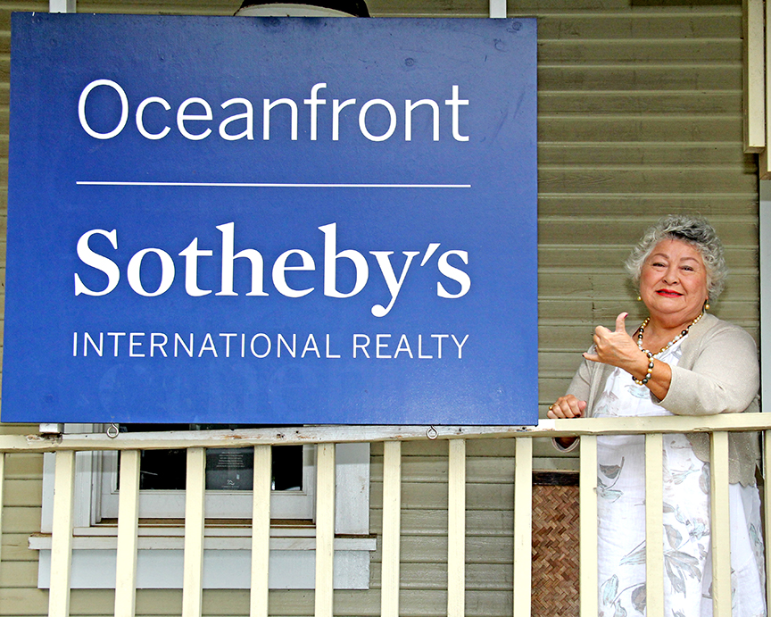
Stephen Taylor, left, Ruby Pap and Chuck Blay survey a Westside beach.
Do you ever wonder why the beaches change so dramatically from season to season? Or lament, “Is the beach ever coming back, ‘cause it’s never been like this before?”
Are you secretly a big science nerd and want to learn a cool beach surveying and analysis technique that uses scientific reasoning to tackle these questions? Do you have time in your life to take on a meaningful project that will contribute to appropriate coastal planning and increased community resilience to hazards?
This might be the perfect volunteer opportunity for you.
Last April, I reported on a beach monitoring effort that is underway on the Westside with geologist Chuck Blay and researchers and students from Kaua‘i Community College, documenting short term seasonal beach changes in Kekaha and Waimea. This is a highly dynamic shoreline environment that has seen major seasonal changes in beach width over a matter of days.
For example, in one season the beach in front of MacArthur Park diminished by 215 feet, only to return the following winter as longshore sediment transport brought the sand back from Major’s Bay.
This event had major implications for the protection of Kaumuali‘i Highway and resulted in the construction of a 300 foot drilled shaft pier wall. How might the emergency response have been different if documented scientific seasonal shoreline change data existed?
Researchers are hoping that the consistent collection of seasonal beach profile data, along with strong community participation, will serve to help inform emergency response efforts and long term coastal planning for the island.
The USGS National Assessment of Shoreline Change on the Hawaiian Islands has found that 71 percent of Kaua‘i’s beaches are eroding. We now have calculated long-term erosion rates for practically every sandy beach area on the island. This data is used by the County of Kaua‘i to establish shoreline setback requirements for development, to ensure that it is safe from hazards and natural resources are protected.
The gathering of short-term, seasonal beach erosion data, like the KCC effort described above, is a necessary step to further refine our knowledge and coastal management practices, because the short-term data can pick up the finer intricacies that the long term rates do not necessarily detect.
Recently, the team received funding from KCC to continue and expand its effort to the wider community (yay, KCC!). It’s my task to recruit interested, committed community members to help out. If that is to happen, it needs to be a community effort — ideally a cadre of trained, scientifically literate citizens in coastal processes and monitoring techniques.

Ruby Pap
Also, you must be ready to have FUN! The surveys occur 1-2 times/month, and it is truly a fantastic crew to learn from and hang out with, including Geologist Dr. Chuck Blay, Dr. Stephen Taylor, Oceanographer from KCC, Jana Rothenberg, videographer extraordinaire, Dennis Rowley and Matt Diefendorf from the Pacific Missile Range Facility, motivated KCC students, and last, but not least — me!
Call 241-4183 or email me at rpap@hawaii.edu if you have any interest, and I will be happy to answer all your questions.
See ya on da beach!
- Ruby Pap is a Coastal Land Use Extension Agent at University of Hawai‘i Sea Grant College Program. She can be reached at rpap@hawaii.edu.
Discover more from ForKauaiOnline
Subscribe to get the latest posts sent to your email.

Leave a Reply